The Vanishing Commons: A History of Jersey City's Lost Public Green Spaces
Photo: UncleVinny, CC BY 3.0, via Wikimedia Commons
Spread a late nineteenth-century map of Jersey City across a table and something immediately strikes the contemporary observer: green. Not the concentrated clusters of parkland that appear on modern maps, but a distributed network of squares, commons, and neighborhood plots scattered across wards from the waterfront to the western heights. Some of these spaces were modest — a quarter-block clearing designated as a neighborhood breathing ground. Others were more ambitious, conceived during the era of landscape reform as democratic counterweights to the pressures of urban industrial life.
Most of them are gone.
What replaced them — rail infrastructure, industrial facilities, housing projects, surface parking lots, and eventually private development — tells a story not merely of urban change but of deliberate choices about whose neighborhoods deserved investment and whose could be quietly stripped of their civic amenities. That story has deep roots, and understanding it requires tracing the arc of Jersey City's park system from its origins through the decisions that systematically diminished it.
The Reform Era and the Promise of Public Space
The movement to establish public parks in American cities gained significant momentum in the latter half of the nineteenth century, driven by reformers who argued that access to green space was essential to the physical and moral health of urban populations. In Jersey City, this impulse produced a modest but genuine expansion of public recreational space during the 1870s and 1880s. Lincoln Park, the city's largest green space, was developed during this period, its formal landscaping reflecting the influence of the naturalistic design philosophy then associated with Frederick Law Olmsted and his contemporaries.
Beyond Lincoln Park, however, the reform era's ambitions for Jersey City were only partially realized. A series of smaller neighborhood parks were platted and, in some cases, developed across the city's residential wards. These spaces — Van Vorst Park in the historic downtown district, Hamilton Park in the blocks to its west, and several lesser-known plots in the working-class neighborhoods closer to the waterfront industries — were intended to provide residents with accessible respite from the density and noise of urban life.
The key word is accessible. In theory, the distribution of these parks across multiple neighborhoods reflected an egalitarian vision of public amenity. In practice, the quality and maintenance of individual spaces varied considerably depending on the political influence of the surrounding ward and the economic status of its residents. Neighborhoods dominated by recent immigrant laborers received less investment, a disparity that was visible even in contemporary accounts and that would deepen considerably in the decades ahead.
Industrial Encroachment and the First Wave of Loss
The early twentieth century brought intensifying pressure on Jersey City's green spaces from a source that the reform-era planners had underestimated: industrial and infrastructural expansion. The city's waterfront and its immediate hinterland were among the most economically productive industrial zones on the eastern seaboard, and the appetite for land among railroad operators, manufacturing concerns, and municipal infrastructure projects was essentially boundless.
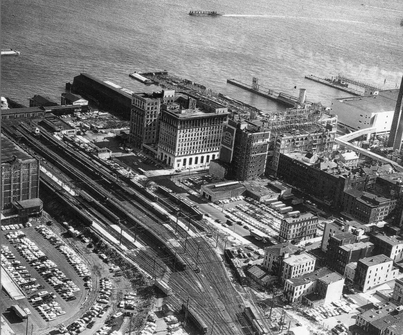
Several small parks and public squares that appeared on maps from the 1880s and 1890s had effectively ceased to function as public spaces by the 1920s, their boundaries encroached upon by rail spurs, warehouse construction, or the expansion of adjacent industrial facilities. In some cases, the formal legal status of these spaces was quietly altered through municipal ordinances that received little public attention. In others, the encroachment was simply physical — fences erected, access blocked, maintenance abandoned — until the spaces were functionally absorbed into the surrounding industrial landscape.
The neighborhoods most affected by this first wave of loss were those closest to the waterfront industries: the communities of working-class Irish, Italian, and Eastern European immigrants who had settled in the wards adjacent to the docks and rail yards. These residents had the least political capital to resist encroachment and the fewest alternatives for recreational space. The loss of a neighborhood park in a ward whose residents could not afford to travel to Lincoln Park represented a qualitatively different deprivation than the same loss would have meant in a more affluent district.
Urban Renewal and the Postwar Erasure
If industrial encroachment was the first wave of loss, the urban renewal programs of the postwar decades constituted the second, and in many respects more devastating, assault on Jersey City's public green space. Federally funded urban renewal initiatives, which reshaped cities across the United States between the late 1940s and the early 1970s, arrived in Jersey City with consequences that fell with particular severity on the city's African American and Puerto Rican communities.
The construction of large public housing complexes — most notably in the areas that would become known as the Journal Square periphery and in sections of the Bergen-Lafayette neighborhood — displaced established residential communities and, in the process, eliminated or radically altered the neighborhood-scale green spaces that had served those communities. The open space incorporated into the new housing developments was often designed according to modernist planning principles that emphasized visual openness over the kind of intimate, usable public space that had characterized older neighborhood parks.
Critically, the broader park network was not expanded to compensate for what was lost. Archival records from the city's planning department during this period reveal little systematic attention to the cumulative effect of individual development decisions on overall park access. Neighborhoods that lost green space to urban renewal projects were not prioritized for new park development. The result was a deepening of the geographic inequity that had characterized park access since the reform era.
Mapping the Disparity
Comparative analysis of park access across Jersey City's neighborhoods — using historical maps from the 1890s, 1930s, and 1970s alongside contemporary GIS data — reveals a clear and consistent pattern. Neighborhoods that experienced the greatest reduction in public green space over the course of the twentieth century were, with few exceptions, the neighborhoods with the lowest median incomes and the highest concentrations of residents of color.
The Heights, Greenville, and the western sections of Bergen-Lafayette lost proportionally more park acreage than the downtown historic district or the neighborhoods adjacent to Lincoln Park. The disparity was not random. It reflected the cumulative effect of planning decisions — about where to site infrastructure, where to permit industrial expansion, where to locate public housing — that consistently treated lower-income and minority neighborhoods as sacrifice zones for the city's broader developmental ambitions.
Longtime residents of these neighborhoods have preserved a vivid oral record of what was lost. Accounts of specific lots, corners, and spaces that once served as informal gathering places — even where no formal park designation existed — describe a texture of community life that the official record only partially captures. These memories constitute an important form of historical evidence, one that supplements the archival record and gives human weight to what the maps alone can only suggest.
Roots of the Present
The environmental justice concerns that animate contemporary debates about park access and green space equity in Jersey City are not new phenomena. They are the present expression of historical processes that unfolded over more than a century of planning decisions, political neglect, and deliberate disinvestment. Understanding those roots does not resolve the disparities that persist today, but it is an essential precondition for any serious effort to address them.
The spaces that were lost cannot all be recovered. Rail infrastructure occupies ground that once held neighborhood parks; private development has long since absorbed other former commons. But the historical record of what existed, what was taken, and which communities bore the cost of those losses belongs to the public. Preserving that record — in archival collections, in community memory, and in the kind of investigative historical work that Jersey City's story demands — is itself an act of civic accountability.